


Visitor Information
Information for Visitors and Locals
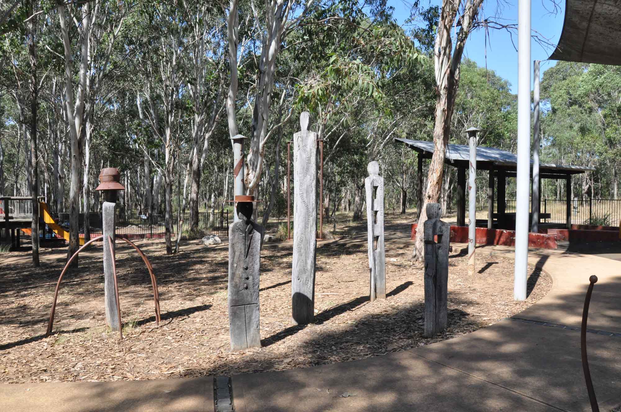
Sydney ’s Hills and Hawkesbury region is located in the north west of Greater Sydney. It stretches from just north of Parramatta (24km/30 minutes from Sydney City ) to Wisemans Ferry on the Hawkesbury River (85km/90 minutes from Sydney City ). It takes in busy suburban towns to rural landscapes and tiny villages. Today Sydney Hills is a growing, vibrant and tranquil destination where locals and visitors can find time to stop, relax, unwind and explore.
WelcomeBrief overview of the Sydney Hills region.Things to See and DoExplore some of the many 'must see' locations around the Sydney Hills region. Getting HereGetting here and getting around Sydney Hills... Location and MapsFind your way around, Sydney Hills - Interactive Google map. ClimateSeasonal temperature and rainfall overview as well as today's weather forecast... Local Town GuideA quick overview of each town describing their attractions and unique features... What's OnThere is plenty on, at any time of year... Quick FactsHistorical facts and points of interest... History Overview A chronological overview of history from the original Darug inhabitants and European settlers to thriving expansion... Car FerriesFive of the eleven car ferries still operating in New South Wales, are located in Sydney Hills...
Products and Services Directory:
Accommodation Discover some amazing places to stay to maximise your Sydney Hills experience... Real EstateLooking to buy or sell property on the Sydney Hills... Wedding Services Plan your special day in Sydney Hills... Functions & ConferencesMake an impact with your next conference or function in Sydney Hills...
Visitor Information Menu:
Graz'n Gourmet

 Graz'n Gourmet